Le séjour
C’est au départ de Nasbinals que vous entamerez votre randonnée sur Compostelle.
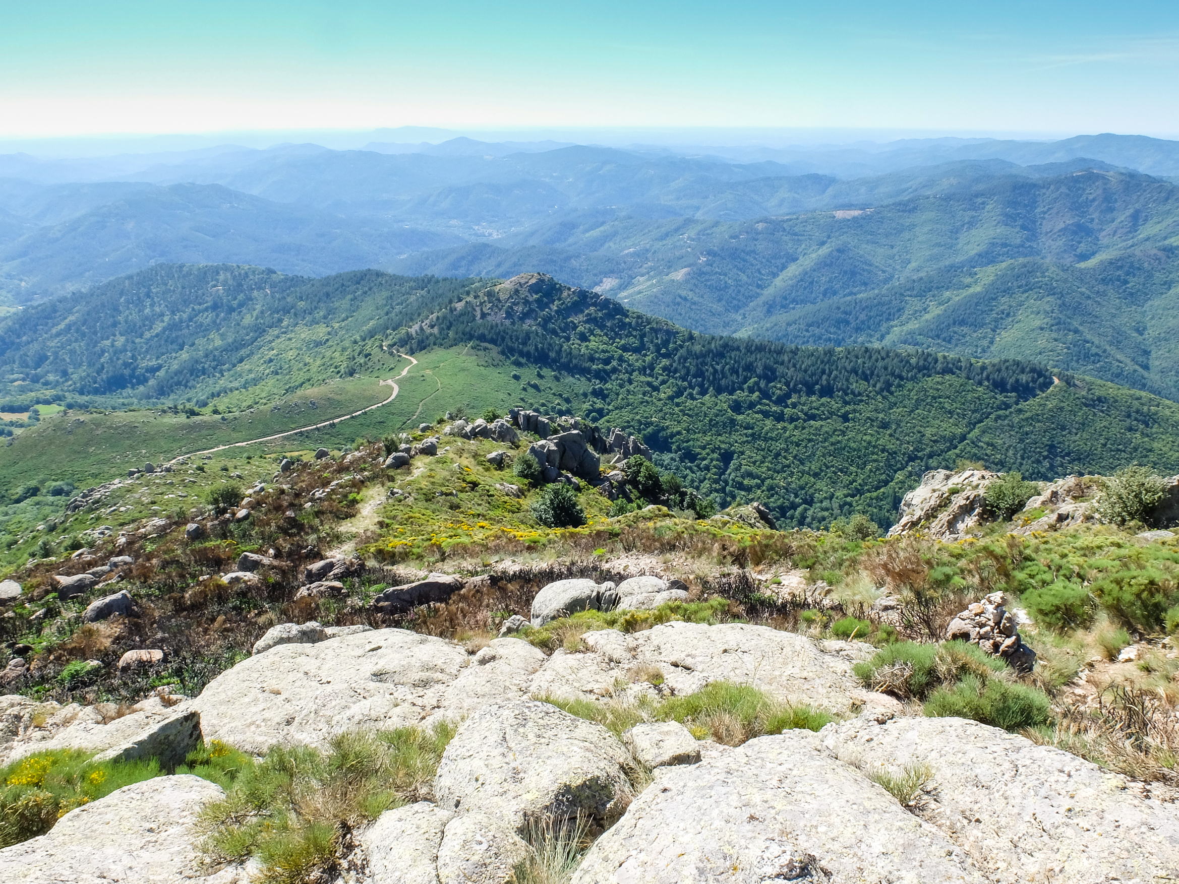
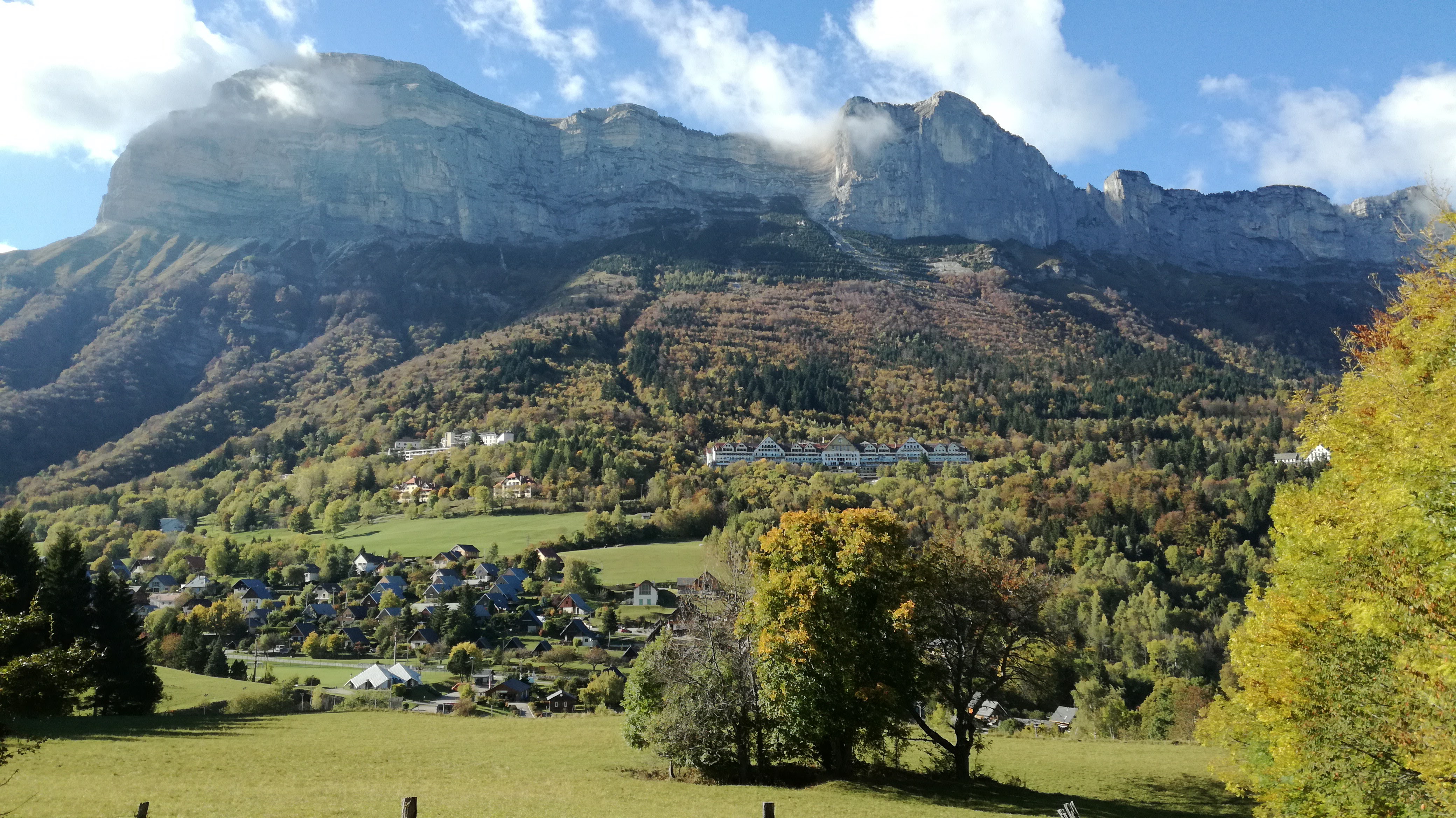
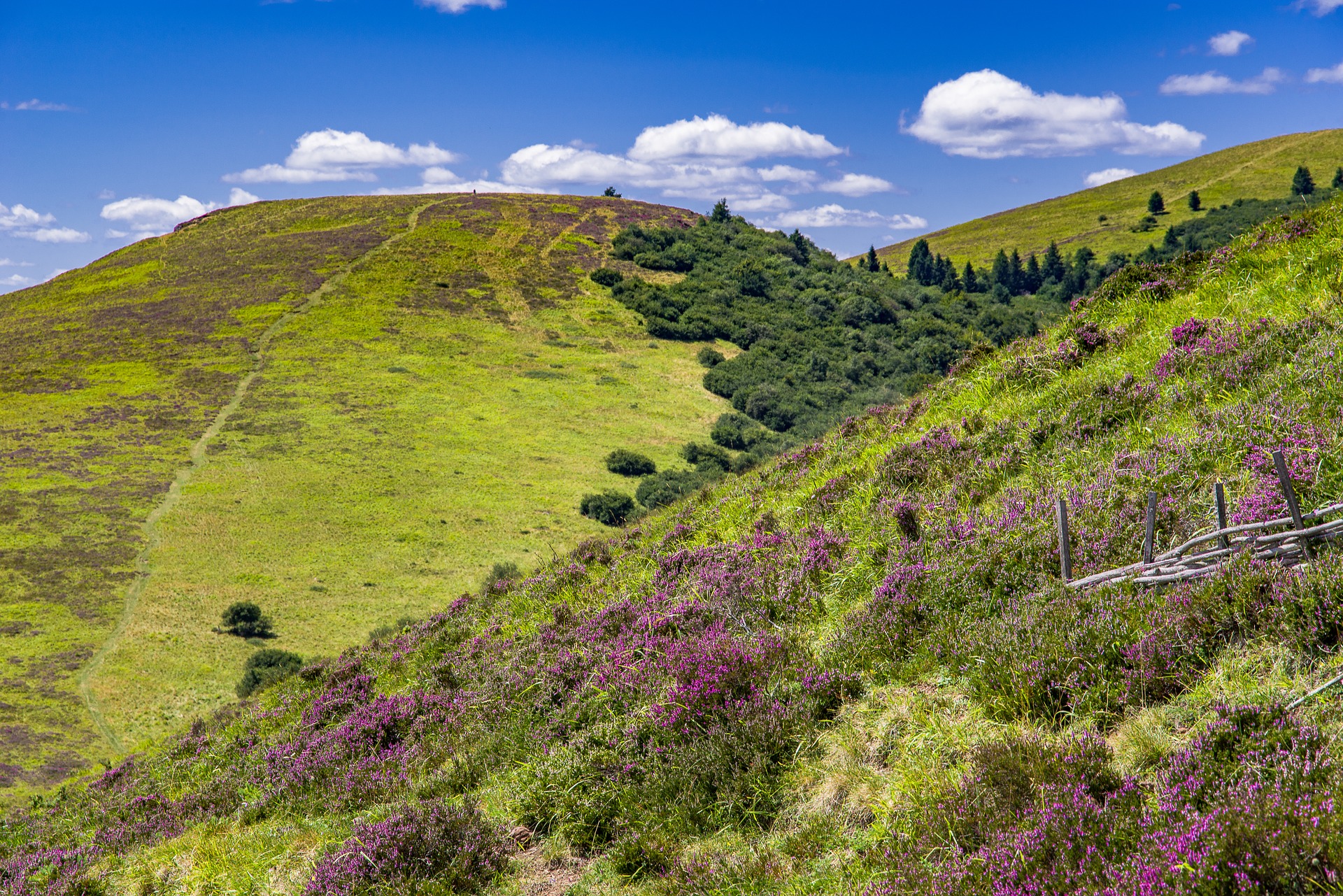
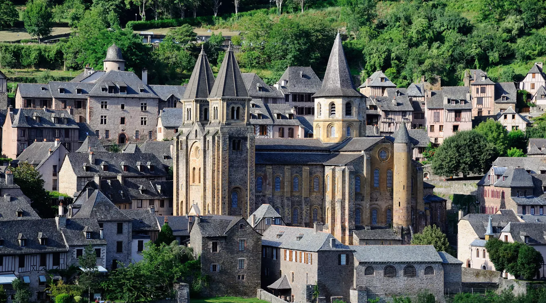
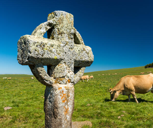
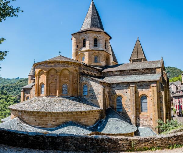
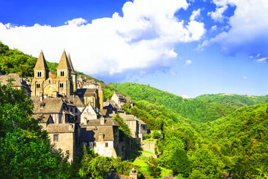
Nasbinals, petite ville de l’Aubrac, mais qui ne renie pas son attachement au Gévaudan. L’itinéraire de cette étape vous mènera jusqu’à Conques, la perle de l’Aveyron, vos journées de randonnée seront tout en contraste au gré des paysages que vous traversez.. Quel bonheur de randonner au milieu du magnifique plateau de l'Aubrac, immensité pastorale baignée de lumière. Le chemin poursuit sa route à travers la jolie vallée du Lot. Il vous conduira à Conques, réputée pour sa célèbre abbatiale, l'un des monuments majeurs du patrimoine architectural des chemins de Saint Jacques de Compostelle.
Les points forts
- Le village de Conques et son Abbatiale Sainte-Foy
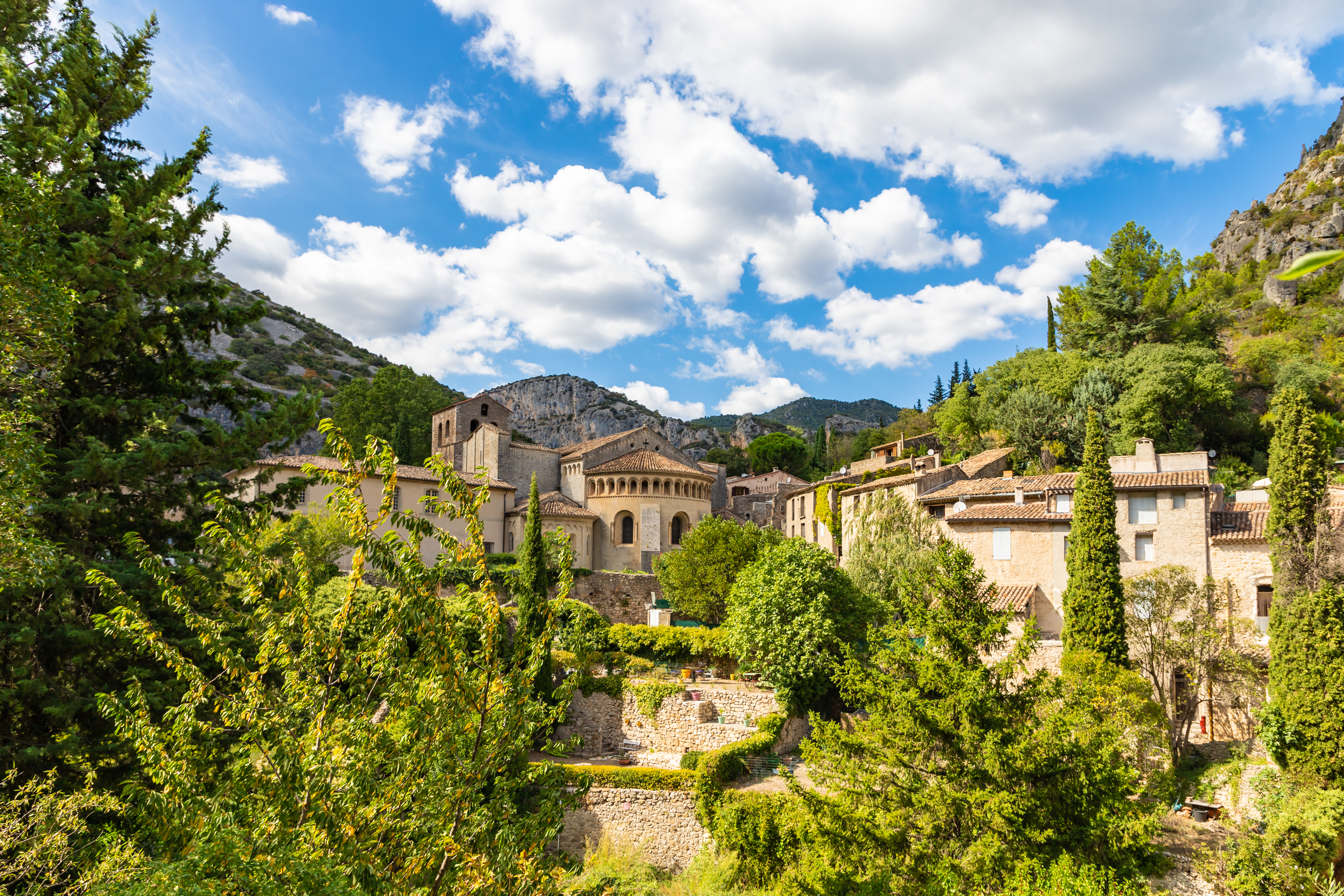
- Traversée de villages pittoresques classés parmi les plus beaux de France
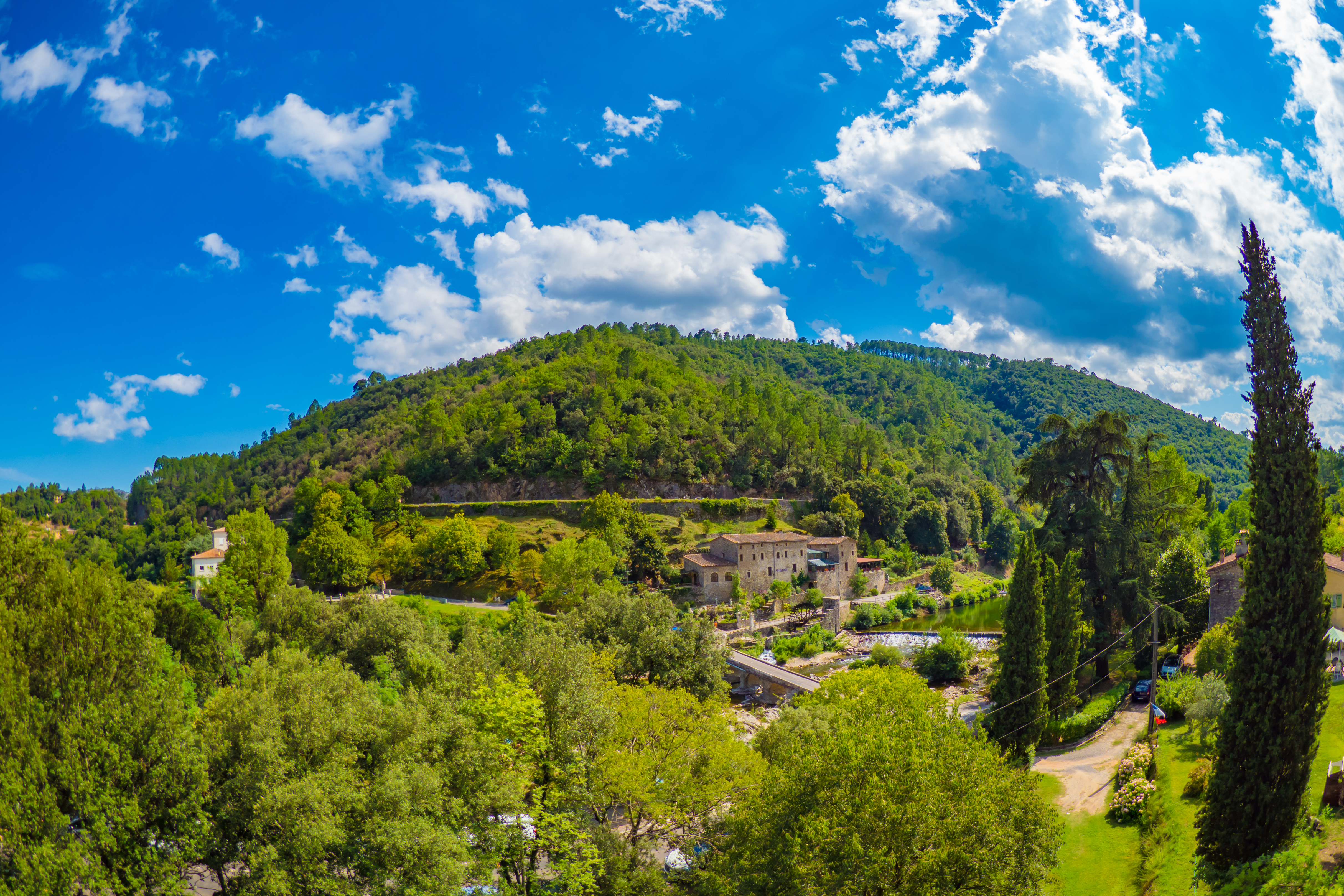
- La Vallée du Lot
Le jour / jour
Nasbinals
Arrivée à l’hébergement en fin d’après-midi, dîner et nuit.
Nasbinals - Saint Chély d'Aubrac 16.5 Km
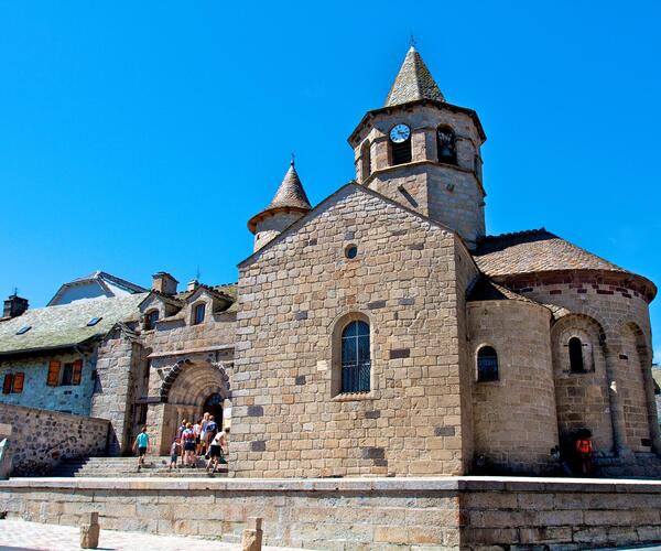
Cette étape descend vers la vallée des Boraldes. On traverse le village d’Aubrac, haut lieu historique du Plateau situé à 1300m d’altitude, où l’on pourra découvrir l’Eglise Notre Dame des Pauvres et les vestiges de la Dômerie. On descendra sur Belvezet pour rejoindre Saint Chély d’Aubrac.
Saint Chély d'Aubrac - Saint Côme d'Olt 16.5 Km
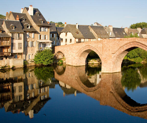
On quitte Saint Chély d’Aubrac en passant par le vieux pont qui enjambe La Borlade. Nous sommes dans la vallée du Lot. Après avoir traversé une partie du Rouergue, on arrivera à la ville de Saint Côme d’Olt, classé parmi les plus beaux villages de France.
Saint Côme d'Olt - Estaing 20.5 Km
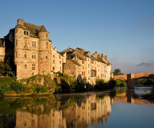
Notre itinéraire suit celui du cours de la rivière du Lot. Au cours de cette étape, on passera par Espalion, puis Saint Pierre de Bessuéjouls avant d’arriver au village jusqu'au joli village d’Estaing, classé lui aussi comme l'un des plus beaux de France.
Estaing - Golinhac 14.5 km
Etape où l'on trouve du dénivelé : la montée sur Golinhac est un peu éprouvante car elle s'effectue sur le goudron. Le village abrite beaucoup de patrimoine sur St Jacques : église, croix en pierre sculpté d’un petit pèlerin tenant un bourdon : ce village était sur une voie de passage dès le XIème siècle.
Golinhac - Conques 22 Km
On trouvera là aussi après le départ une montée assez raide, avant de redescendre sur Conques, classé parmi les plus beaux villages de France. Vous aurez le loisir de découvrir ce bourg médiéval et ses nombreux trésors : l’abbatiale et ses sculptures romanes.
Conques
Fin du séjour après le petit déjeuner.
Organisation
Gare SNCF d'Aumont-Aubrac et de Saint Christophe-Vallon ou Rodez.
Hôtels 1*, 2** à 3***, chambre privative en gîte et chambre d’hôtes sauf formule « gîte ».
Période du 23 au 27 mai à éviter pour tous départ (Transhumance 2026).
Supplément chambre individuelle : 230 €
Formule dortoir/chambre à partager possible
Navette retour Conques > Nasbinals : 40€/personne
A partir d'octobre, une hausse des prix est à prévoir du fait de la basse saison pour le transport des bagages (nous consulter).
Possibilité d’un séjour «confort +» à certaines étapes et en modifiant le découpage du séjour, avec hébergement «de charme» et en hôtels 3*, nous consulter.
Date & prix
| Dates de départ | Prix/Pers. | Réservation |
|---|---|---|
| 01/04/2026 au 31/10/2026 | 730 € | Réserver |
Votre séjour 100% sur mesure !
Selon vos envies & vos critères


